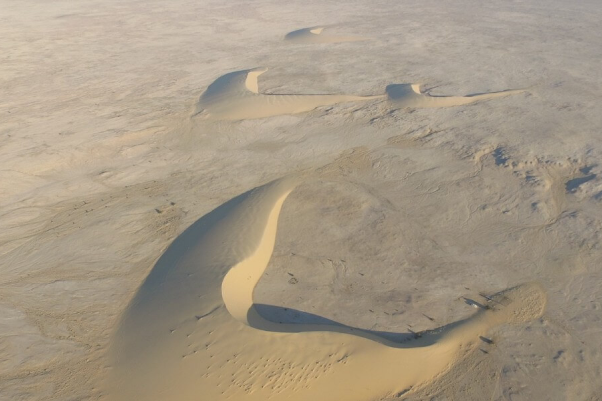
Water shortages are expanding across the Earth. This is particularly acute in desert areas of the Middle East that are subject to both drought and extreme conditions such as flooding. As a result of these uncertainties, there is an increasing reliance on shallow aquifers to mitigate these shortages. However, the characteristics of these aquifers remain poorly understood due to the reliance on sporadic well logs for their management.
To address this challenge a team of researchers at the USC Viterbi School of Engineering Ming Hsieh Department of Electrical and Computer Engineering along with collaborators at Metric Systems Corporation, Caltech, Institute of Flight System Dynamics at the Technical University of Munich, the Department of Electrical Engineering at Qatar University, the Qatar Environment and Energy Research Institute at Hamad Bin Khalifa University, Bin Omran Trading & Telecommunications, the Earth and Life Institute at Catholic University of Louvain, the Department of Civil and Environmental Engineering at University of Hawai’i at Manoa, and The Aerospace Corporation, developed a new prototype for what the team is calling an “Airborne Sounding Radar for Desert Subsurface Exploration of Aquifers,” nicknamed “Desert-SEA.” The new technique will map the top of the aquifer, called the “water table,” spanning areas as large as hundreds of kilometers using a radar mounted on a high-altitude aircraft. According to the researchers, Desert-SEA will measure, for the first time, the variabilities in the depth of the water table on a large scale, allowing water scientists to assess the sustainability of these aquifers without the limitations associated with in-situ mapping in harsh and inaccessible environments.
“Understanding how shallow groundwater moves horizontally and vertically is our primary objective as it helps us answer several questions about its origin and evolution in the vast and harsh deserts. These are questions that remain unanswered to this day,” says Heggy, a research scientist at USC who specializes in radar remote sensing of deserts and the lead author of the paper outlining the technology in IEEE-Geoscience Remote Sensing magazine.