Researchers at USC have developed a new method to accurately predict wildfire spread. By combining satellite imagery and artificial intelligence, their model offers a potential breakthrough in wildfire management and emergency response.
Detailed in an early study proof published in Artificial Intelligence for the Earth Systems, the USC model uses satellite data to track a wildfire’s progression in real time, then feeds this information into a sophisticated computer algorithm that can accurately forecast the fire’s likely path, intensity and growth rate.
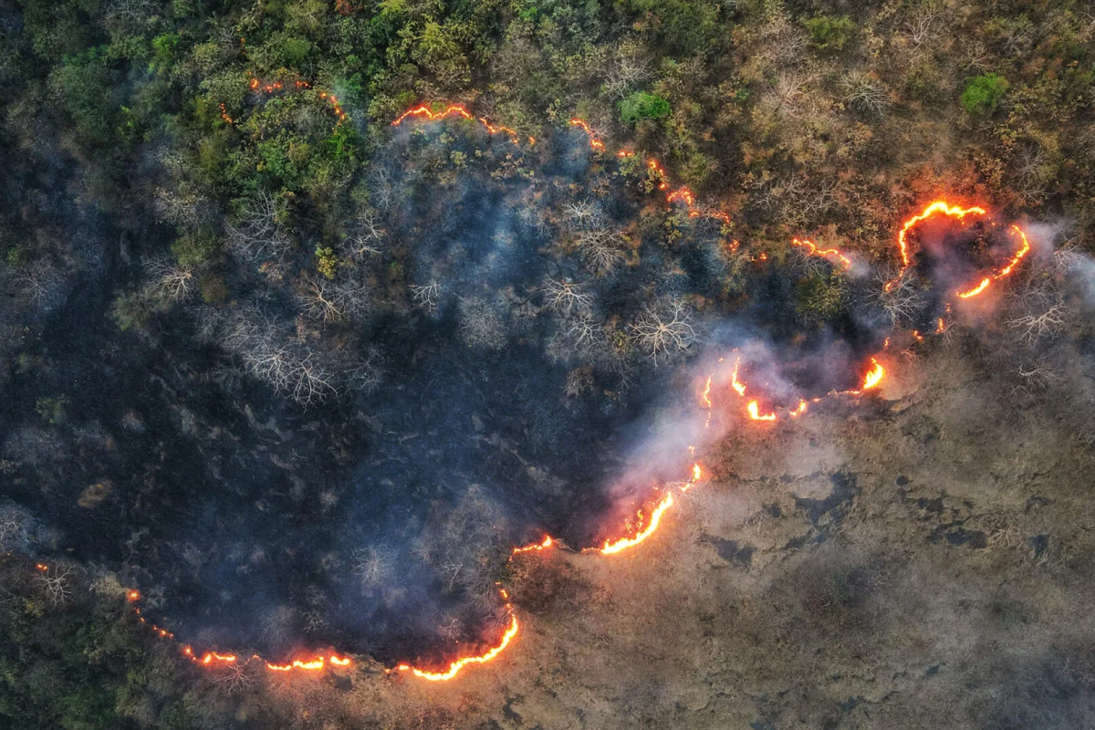
The study comes as California and much of the western United States continues to grapple with an increasingly severe wildfire season. Multiple blazes, fueled by a dangerous combination of wind, drought and extreme heat, are raging across the state. Among them, the Lake Fire, the largest wildfire in the state this year, has already scorched over 38,000 acres in Santa Barbara County.
“This model represents an important step forward in our ability to combat wildfires,” said Bryan Shaddy, a doctoral student in the Department of Aerospace and Mechanical Engineering at the USC Viterbi School of Engineering and the study’s corresponding author. “By offering more precise and timely data, our tool strengthens the efforts of firefighters and evacuation teams battling wildfires on the front lines.”