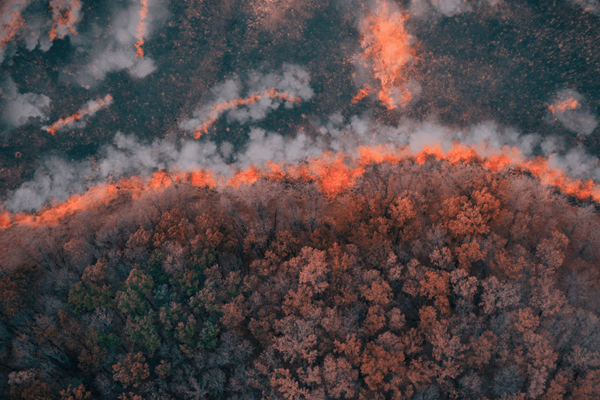
The 2023 blaze in Lahaina, Hawaii, which claimed more than 100 lives and burned 6,500 acres of land across Maui, is a tragic example of how rapid wildfire spread can make effective response efforts impossible, resulting in the loss of life and property.
What if technology could help people detect wildfires earlier? The solution could already be in your pocket: a mobile phone.
USC computer science researchers have developed a new crowdsourcing system that dramatically slashes wildfire mapping time from hours to seconds using a network of low-cost mobile phones mounted on properties in high fire threat areas. In computer simulations, the system, FireLoc, detected blazes igniting up to 3,000 feet away and successfully mapped wilderness fires to within 180 feet of their origin.
Detecting wildfires within seconds of ignition
Presented at ACM SenSys on Nov. 5, the paper, titled “FireLoc: Low-latency Multi-modal Wildfire Geolocation,” serves as a proof of concept, according to the researchers. But how would it function in the real world?
“It’s a stepping stone towards broader wildfire mitigation efforts in the future.” — Xiao Fu
For the user, it’s simple. Residents and businesses near high-risk areas would install an affordable, weatherproof mobile phone in their backyard or on their building, connect it to a power source, and point the camera toward nearby trees and brush.
Behind the scenes, complex multi-modal analysis and computer vision models process the data, gathered from the phone’s basic cameras and sensors, rapidly detect wildfires, often within minutes—even seconds—of ignition.
The system prioritizes privacy by focusing on areas with minimal human activity and primarily captures images of vegetation and wilderness. Adapted object localization techniques also ensure the system zeroes in on fire risks without inadvertently capturing images of people or homes.