In 2020, one of the largest wildfires in Los Angeles County raged across the San Gabriel Mountains, scorching more than 115,000 acres, damaging or destroying over 150 structures and raining ash and smoke down on pandemic-weary Angelenos.
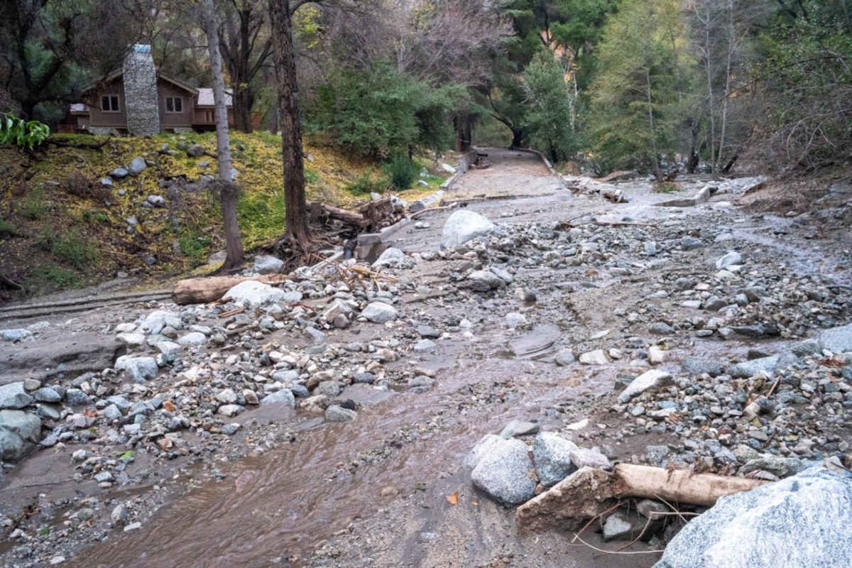
But even after exhausted firefighters had finally snuffed out the flames, the Bobcat Fire — like other so-called “mega-fires” that have become more common due to climate change — carried the potential to wreak more havoc in its wake. As rainstorms deluge burnt areas, flooding, mudslides and debris flow can compound the fire’s damage.
Understanding how water accumulates and monitoring the movement of runoff and streamflow in burn areas helps authorities predict when and where these post-wildfire events might occur so they can provide affected residents with early warning of flash flooding and debris movement.
